GIS Services
The Nevada Division of Forestry (NDF) uses geospatial data and associated technologies to support its mission of providing professional natural resource and wildland fire management services to Nevada’s citizens and visitors, as well as assisting other agencies, land managers, and GIS Professionals in meeting their goals. NDF strives to keep public data easily accessible and up-to-date, as well as utilize critical geospatial technologies and applications.
Nevada Natural Resources and Fire Information Portal (NNRFIP)

The Nevada Natural Resources and Fire Information Portal (NNRFIP) provides wildfire risk information and natural resources data for the entire state of Nevada. This mapping tool produces user-friendly outputs that are formatted to aid project planning and information sharing for all state, federal, local, and private land holders across Nevada.
Natural Resource and Fire Information Portal
DCNR Data Hub
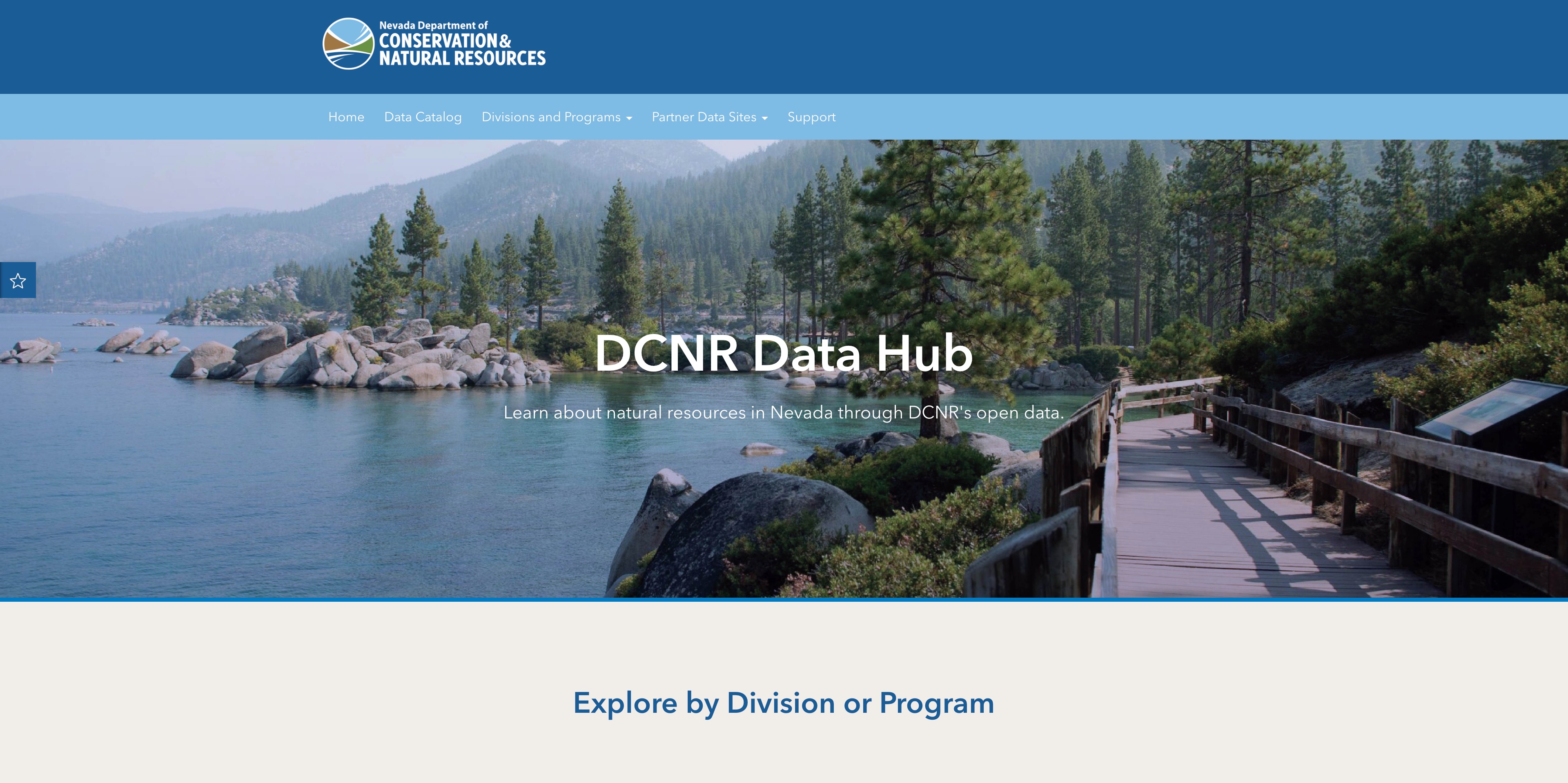
Visit the Nevada Department of Conservation and Natural Resource's (DCNR) public Data Hub to access GIS data, web applications, maps, documents, and more.
NDF Employee GIS Hub
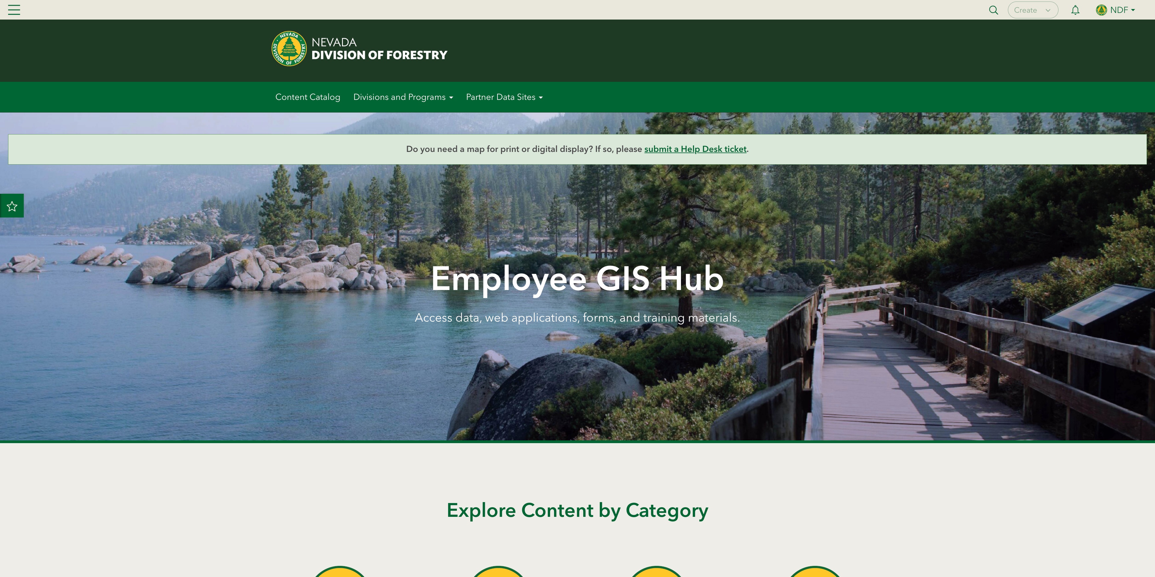
If you work for the Nevada Division of Forestry and wish to access web forms, online GIS data, web applications, and GIS trainings, please visit the NDF Employee GIS Hub. The Hub site requires you to log in using your assigned ArcGIS Online (AGOL) account.
Are you looking for printable maps?
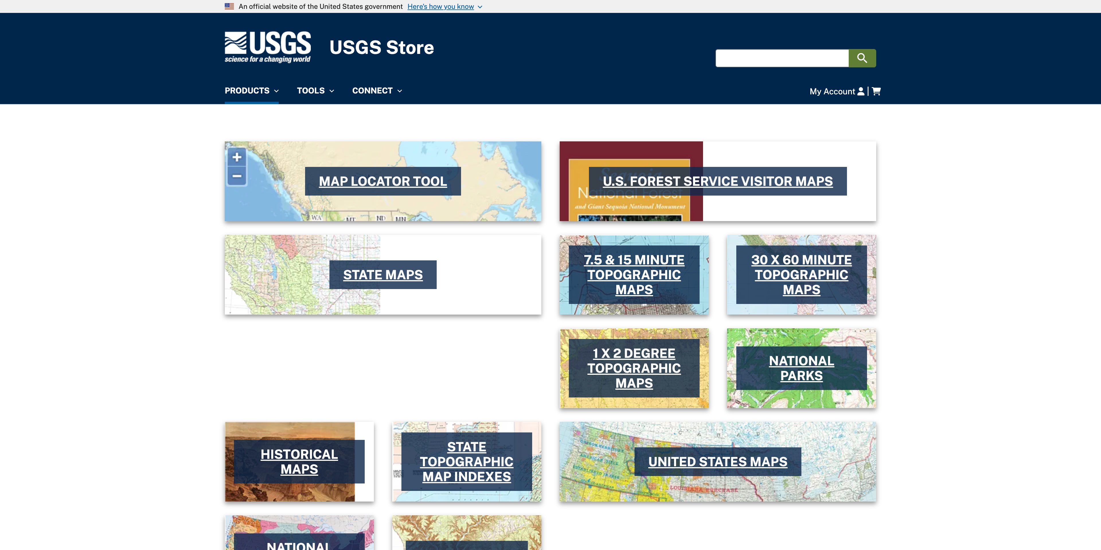
NDF does not sell digital or printable U.S. Forest Service, BLM, or topographic maps. If you are interested in acquiring special interest or topographic maps, please visit the USGS Map Store.