The Community Wildfire Protection Plan (CWPP)
In 2003, Congress passed the Healthy Forest Restoration Act (HFRA), which acknowledges communities as key stakeholders in wildfire mitigation and prevention. The HFRA recognizes the need for collaboration between emergency management and land management agencies and the communities they serve. The development of Community Wildfire Protection Plans (CWPPs) highlights the importance of cooperative approaches to wildfire prevention and mitigation.
The goal of a CWPP is to define and identify a community’s priorities for the protection of life, property, shred assets, and infrastructure in the event of a wildfire. Moreover, CWPPs allow communities to influence were and how to implement fuel reduction and other wildfire prevention and mitigation strategies.
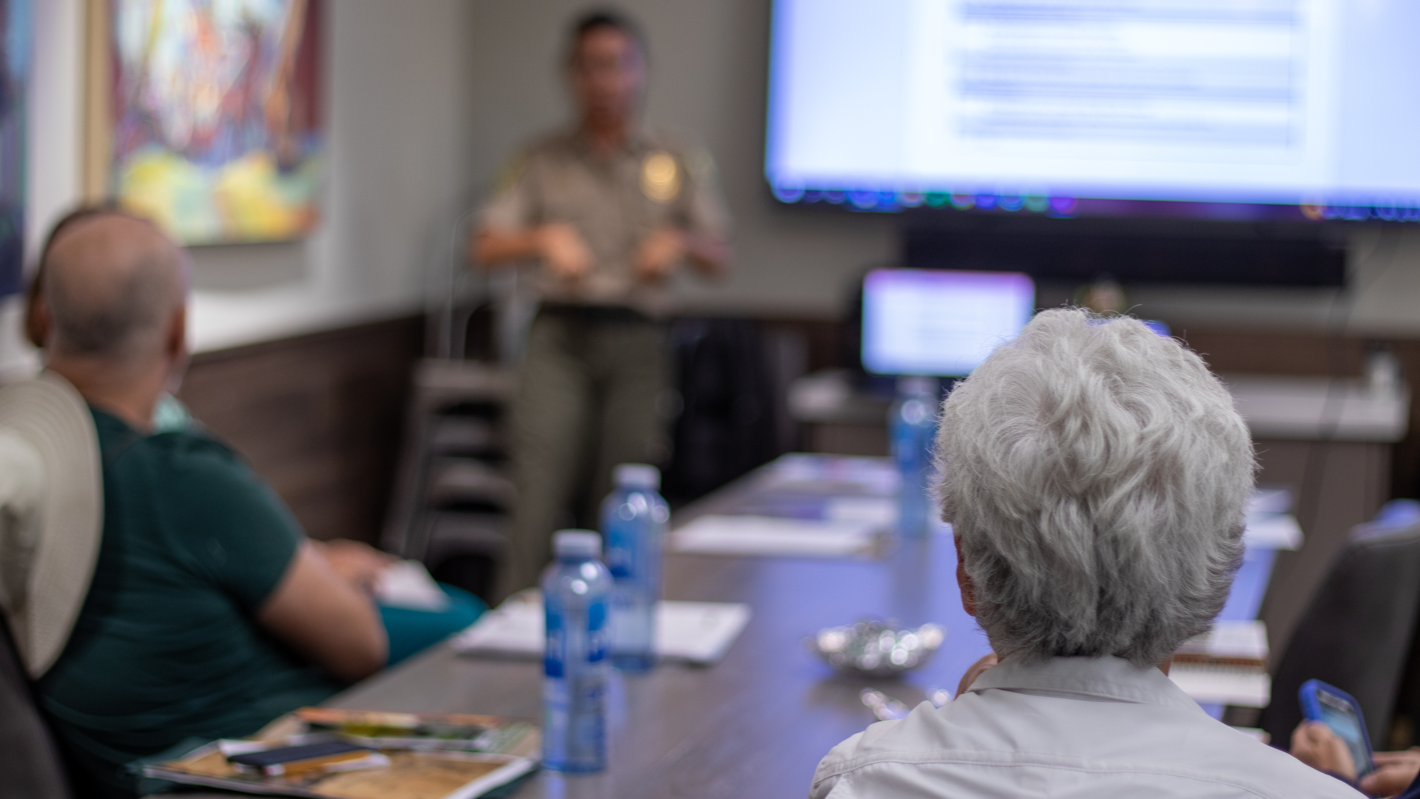 Kelli Nevills presents during a Firewise USA® meeting, organized by the Galena Country Estates HOA, in Reno. Photo: Cynara M. Medina
What is a CWPP?
A CWPP is a plan that communities create collaboratively with local and state fire protection and land management agencies. Its intent is to reduce the risk of wildfires, enhance local ecosystem health, protect vital infrastructure, and increase the safety of residents and first responders in the event of a wildfire. CWPPs identify and prioritize areas for hazardous fuel reduction and recommend the types and methods of treatment to be used.
CWPPs are very flexible, as they’re meant to reflect a community’s needs and priorities; typically, they address issues such as wildfire response, hazard mitigation, community preparedness and education, and structure protection.
Why should your community create a CWPP?
There are several compelling reasons for developing a CWPP, including the following:
- Understand wildfire risks to the community.
- Establish a locally appropriate definition and boundary for the Wildland Urban Interface (WUI).
- Plan wildfire mitigation and preparedness actions to reduce wildfire risk.
- Foster collaboration between the community and local, state, and federal agencies and other stakeholders, before, during, and after wildfires.
- Apply for federal and/or state funding to implement wildfire prevention and mitigation projects.
- Identify priority areas for fuels reduction projects.
- Develop community risk assessments that firefighters can use for pre-planning.
- Educate community members about wildfire prevention.
- Improve wildfire resilience across the community.
Who should be involved in the development of a CWPP?
According to the HFRA, a CWPP must be developed through collaboration between the community and local and state government representatives, in consultation with federal agencies. Other stakeholders should be involved as well, such as:
- Agencies in charge of wildlife protection, at the state and/or federal level, to identify locally significant habitats.
- Homeowners’ associations.
- Local organizations, including chambers of commerce, watershed councils, environmental protection groups, recreation organizations, land trusts, historical societies, etc.
- Entities that manage utilities and infrastructure, such as powerlines, water distribution, cell towers, and other public services.
- Department of Transportation, to identify key escape corridors and routes.
Not all stakeholders will have the same level of involvement. In fact, the HFRA’s only requirement is that the local government (e.g., county or city), the fire department or protection district, and the state forestry agency must sign off on the plan. Therefore, it is very important to involve these entities early. Nevertheless, reaching out to other stakeholders in the area can prevent potential delays, misunderstandings, and restrictions. Local ownership of the plan contributes to its legitimacy and improves the chances of successful implementation on a community-wide basis.
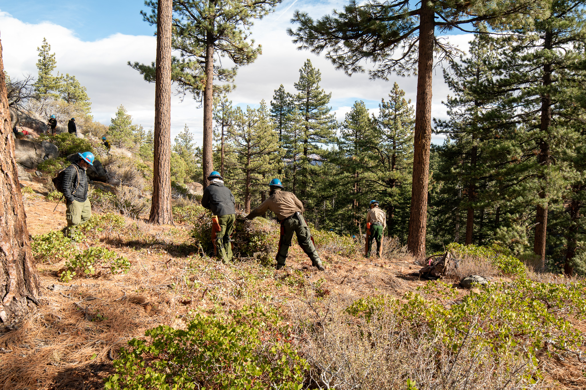
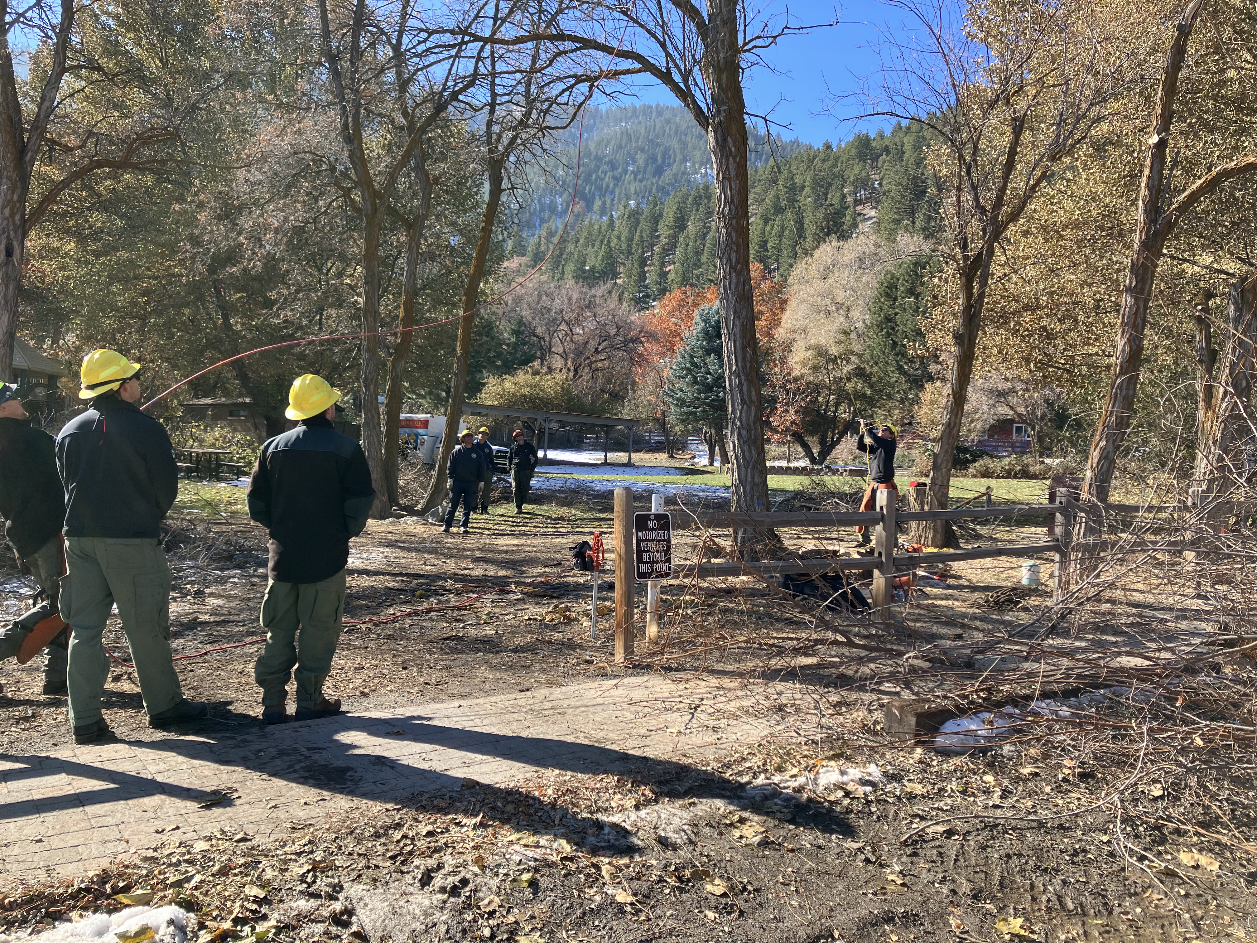 Nevada Division of Forestry Crew helps out at a community clean up event in Genoa. Photo: Kelli Nevills.
What information does a CWPP include?
The HFRA sets minimum content requirements for a CWPP: (1) Plans must reflect a collaboration between the community, local government, fire department(s), and state forestry agency; (2) plans must identify and prioritize areas for hazardous fuel reduction treatments and recommend the most suitable methods of treatment, and (3) the CWPP must recommend measures that homeowners and communities can take to reduce the ignitability of structures throughout the covered area. The information can be organized as follows:
| Section | Content |
|---|---|
| Executive Summary | Brief description of the entire plan. Identify the community, the participating stakeholders (e.g., fire protection district, etc.), discuss goals and objectives, notable fire risks and hazards, protection capabilities, and proposed action plan. The executive summary should not exceed two pages. |
| Introduction |
Background and history:
|
|
Community Description
|
|
| Goals and Objectives | |
| Planning Process | Description of partners ad committees |
|
Collaboration and Community Outreach
|
|
| Review of existing community studies and reports (if available) | |
| Community Profile |
|
|
Wildfire Risk Assessment (Include maps, charts, tables, illustrations, and/or photographs within the narrative) |
Fire hazards and risks
|
|
Protection capabilities
|
|
|
Structural Vulnerability
|
|
|
Values at-risk
|
|
| Emergency Management |
Protection Capabilities and Infrastructure
|
| Mitigation Action Plan | Current projects and policies (e.g., ordinances, plans, etc.) |
|
Fuels Reduction
Maps, charts, tables, illustrations and/or photographs should accompany narrative. |
|
|
Biomass Utilization and Economic Development
|
|
| Monitoring and Evaluation |
Implementation
|
|
Monitoring
|
|
|
Evaluation:
|
|
| Appendices |
|

